|
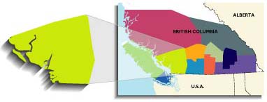
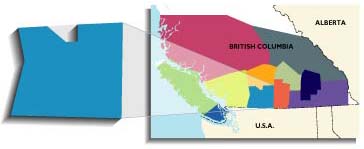
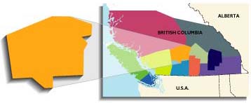
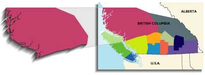
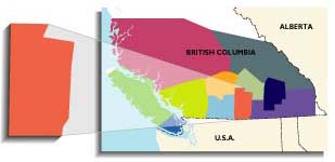
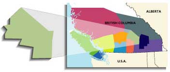
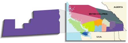
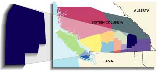
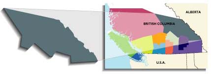
 Destination Highways BC breaks the south of the
province into the 11 regions shown below. The four Overall maps at the front of the book show all the regions together. Each region has between six and nine DHs. There are 11 Regional maps at the beginning of each region that show you all the
DHs (Destination Highways) and TEs (Twisted Edges) within each region on one map, for context. Then, the Local maps (sometimes two per DH) for
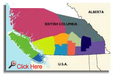
each of the 85 DHs (and their attendant 100 TE side roads) show all the important features and services (gas, bike shops, food & drink, accommodations & camping, police stations) along the way. The maps, together with the Access directions written for each DH (and where necessary for TEs) are designed to get you on the best roads in British Columbia as quickly and easily as possible in order to maximize your precious two-wheeled time. And isn't that what you're interested in? Destination Highways BC breaks the south of the
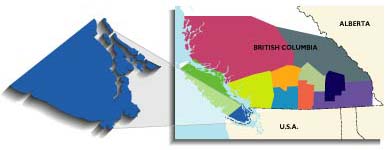
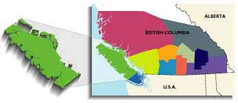
province into the 11 regions shown below. The four Overall maps at the front of the book show all the regions together. Each region has between six and nine DHs. There are 11 Regional maps at the beginning of each region that show you all the
DHs (Destination Highways) and TEs (Twisted Edges) within each region on one map, for context. Then, the Local maps (sometimes two per DH) for
each of the 85 DHs (and their attendant 100 TE side roads) show all the important features and services (gas, bike shops, food & drink, accommodations & camping, police stations) along the way. The maps, together with the Access directions written for each DH (and where necessary for TEs) are designed to get you on the best roads in British Columbia as quickly and easily as possible in order to maximize your precious two-wheeled time. And isn't that what you're interested in?
|